Police nearby SG
Guatemala
Police nearby SG
SG
Guatemala
contacts phone
:
+502
Latitude:
14.6143544
, Longitude:
-90.5338991
larger map & directions
read more
nearest Police
SG
Guatemala City
Police
read more
29 m
PNC
Guatamala City
Police
read more
29 m
PNC
Guatemala
Police
read more
29 m
PNC
Guatemala-Stadt
Police
read more
29 m
PNC
Guatemala City
Police
read more
29 m
PNC
Gwatemala
Police
read more
518 m
Task force Kaminal
3A Avenida, Guatemala
Police
read more
1.718 km
Policia Municipal de Transito
Calzada Roosevelt, Guatemala
Police
read more
2.664 km
Estacion Ovelisco
6A Avenida, Guatemala
Police
read more
2.75 km
Comisaría 13 PNC
Calle 13-36 29, Guatemala
Police
read more
2.917 km
Commissioner PNC 14
5 Calle, Guatemala
Police
read more
3.05 km
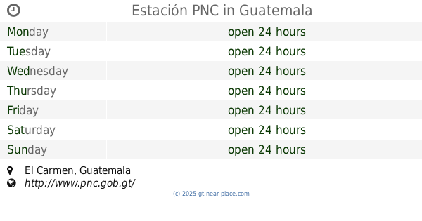
Estación PNC
El Carmen, Guatemala City
Police
read more
3.05 km
Estación PNC
El Carmen, Guatemala
Police
read more
3.051 km
Estacion Policía Nacional Civil, Estacion El Carmen
El Carmen, Guatemala City
Police
read more
3.144 km
Palace of the National Civil Police
Guatemala City
Police
read more
3.144 km
Palacio de la Policía Nacional Civil
Guatemala
Police
read more
3.571 km
sede lobos GRIL
15 Calle, Guatemala
Police
read more
3.65 km
Expertaje Policia Nacional Civil
13 Avenida 13-36, Guatemala
Police
read more
3.691 km
Tribunal Pnc
2A Avenida, Guatemala
Police
read more
3.978 km
PROVIAL
21 calle 10-58 Colonia Aurora 2 Zona 13, Guatemala, Guatemala
Police
read more
4.613 km
Sub-Estación 11 1-16 Morazán PNC
3 Calle, Guatemala
Police
read more
5.147 km
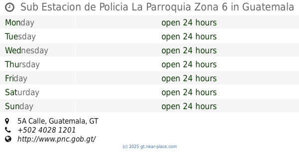
Sub Estacion de Policia La Parroquia Zona 6
10 6, 5A Calle, Guatemala
Police
read more
5.222 km
Gerencia General, Emixtra.
10A Calle
Police
read more
5.842 km
Estación 5, ¨Emixtra¨
47 Avenida, Guatemala
Police
read more
6.472 km
Policía Nacional Civil
34 Avenida, Guatemala
Police
read more
📑
all categories
Accounting
Administrative area level 1
Administrative area level 2
Airport
Amusement park
Aquarium
Art gallery
Atm
Bakery
Bank
Bar
Beauty salon
Bicycle store
Book store
Bowling alley
Bus station
Cafe
Campground
Car dealer
Car rental
Car repair
Car wash
Casino
Cemetery
Church
City hall
Clothing store
Colloquial area
Convenience store
Courthouse
Dentist
Department store
Doctor
Electrician
Electronics store
Embassy
Establishment
Finance
Fire station
Florist
Food
Funeral home
Furniture store
Gas station
General contractor
Grocery or supermarket
Gym
Hair care
Hardware store
Health
Hindu Temple
Home goods store
Hospital
Insurance agency
Jewelry store
Laundry
Lawyer
Library
Liquor store
Local government office
Locality
Locksmith
Lodging
Meal delivery
Meal takeaway
Mosque
Movie rental
Movie theater
Moving company
Museum
Natural feature
Neighborhood
Night club
Painter
Park
Parking
Pet store
Pharmacy
Physiotherapist
Place of worship
Plumber
Point of interest
Police
Political
Post office
Premise
Real estate agency
Restaurant
Route
Rv park, camping
School
Shoe store
Shopping mall
Spa
Stadium
Storage
Store
Subway station
Supermarket
Synagogue
Taxi stand
Train station
Transit station
Travel agency
University
Veterinary care
Zoo
administrative area level 3
sublocality level 1
↑