Park nearby Parque, La Democracia
Guatemala
Park nearby Parque, La Democracia
Parque, La Democracia
La Democracia Guatemala
contacts phone
:
+502
Latitude:
15.6254195
, Longitude:
-91.8868764
read more
nearest Park
Parque, La Democracia
La Demacracia
Park
read more
3.742 km
Parque Central "Camojá"
Camojá
Park
read more
3.742 km
"Camojá" Central Park
Camojá
Park
read more
5.231 km
Campo de Futbol
Santo Domingo
Park
read more
10.353 km
Monajil Park
Monajíl
Park
read more
10.353 km
Parque Monajil
Monajíl
Park
read more
12.518 km
Plaza
La Libertad
Park
read more
12.714 km
Parque
San Antonio Huista
Park
read more
12.728 km
Parque Central
San Antonio Huista
Park
read more
12.762 km
Parque Lupina
Lupiná
Park
read more
13.173 km
Monumento Primero
Lupiná
Park
read more
13.225 km
Agua Zarca Park
Agua Zarca
Park
read more
17.204 km
Parque Ecologico Yul Ha´ Saj Ha´
Jacaltenango
Park
read more
17.204 km
Yul Ha´ Saj Ha´ Ecological Park
Jacaltenango
Park
read more
18.993 km
Parque Municipal
Jacaltenango
Park
read more
19.03 km
Parque Central
Jacaltenango
Park
read more
19.546 km
Placita de la Cruz
Calle Central Juan Pablo II, Jacaltenango
Park
read more
19.803 km
Parque Central
San Pedro Necta
Park
read more
20.645 km
Central Park
San Marcos Huista
Park
read more
20.645 km
Parque Central
San Marcos Huista
Park
read more
21.091 km
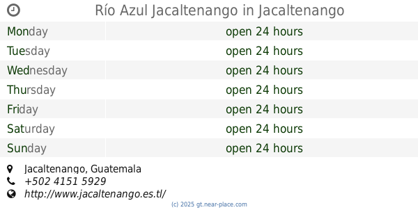
Río Azul Jacaltenango
Jacaltenango
Park
read more
23.732 km
Parque Municipal
Concepción
Park
read more
24.24 km
Parque la parroquia
Nentón
Park
read more
26.233 km
Parque Central
Unnamed Road, Santiago Chimaltenango
Park
read more
26.233 km
Central Park
Unnamed Road, Santiago Chimaltenango
Park
read more
📑
all categories
Accounting
Administrative area level 1
Administrative area level 2
Airport
Amusement park
Aquarium
Art gallery
Atm
Bakery
Bank
Bar
Beauty salon
Bicycle store
Book store
Bowling alley
Bus station
Cafe
Campground
Car dealer
Car rental
Car repair
Car wash
Casino
Cemetery
Church
City hall
Clothing store
Colloquial area
Convenience store
Courthouse
Dentist
Department store
Doctor
Electrician
Electronics store
Embassy
Establishment
Finance
Fire station
Florist
Food
Funeral home
Furniture store
Gas station
General contractor
Grocery or supermarket
Gym
Hair care
Hardware store
Health
Hindu Temple
Home goods store
Hospital
Insurance agency
Jewelry store
Laundry
Lawyer
Library
Liquor store
Local government office
Locality
Locksmith
Lodging
Meal delivery
Meal takeaway
Mosque
Movie rental
Movie theater
Moving company
Museum
Natural feature
Neighborhood
Night club
Painter
Park
Parking
Pet store
Pharmacy
Physiotherapist
Place of worship
Plumber
Point of interest
Police
Political
Post office
Premise
Real estate agency
Restaurant
Route
Rv park, camping
School
Shoe store
Shopping mall
Spa
Stadium
Storage
Store
Subway station
Supermarket
Synagogue
Taxi stand
Train station
Transit station
Travel agency
University
Veterinary care
Zoo
administrative area level 3
sublocality level 1
↑