GuatemalaPalín
Palín
Administrative Region:
Escuintla
population:
62 095
calling code:
+502-7
postcode:
05011
Location on the map of Guatemala
Palín
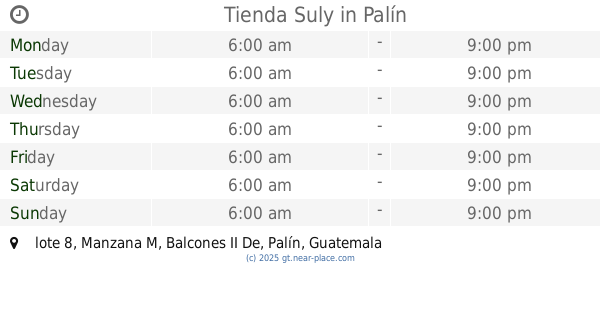
Grocery or supermarket
Neighborhood

Night club
School
Shopping mall

📑 Palín all categories
BakeryBankBeauty salonBook storeBus stationCafeCar repairCemeteryChurchCity hallClothing storeDoctorElectronics storeEstablishmentFinanceFoodGas stationGeneral contractorGrocery or supermarketGymHair careHardware storeHome goods storeHospitalLocal government officeLocalityLodgingNatural featureNeighborhoodNight clubParkPharmacyPoint of interestPolicePremiseRestaurantRouteSchoolShopping mallStoreSupermarketUniversitysublocality level 1